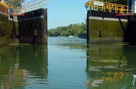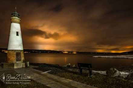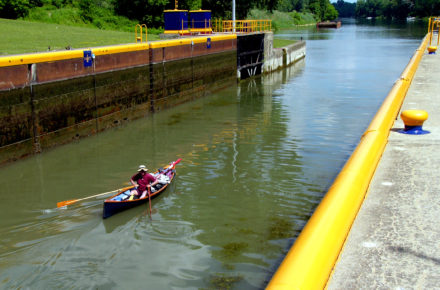
C-S Canal Lock 1 to John Harris Park
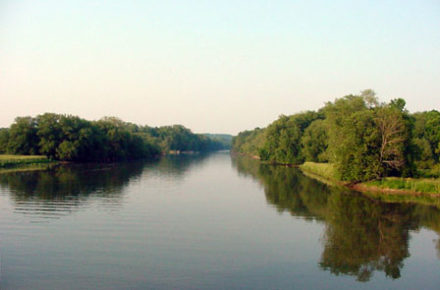
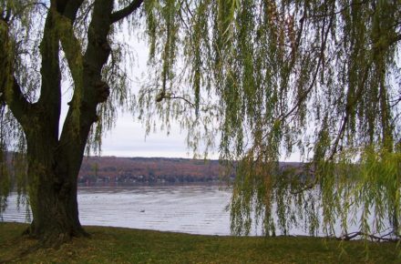
Heading southwest, this trip follows the northwestern shoreline of Cayuga Lake from the mouth of the Seneca River at C-S Canal Lock 1, aka Mud Lock, along the extensive marshes and under the railroad bridge. The trip continues south for approximately 3/4 mile before crossing the lake to the east… Read more and view locations